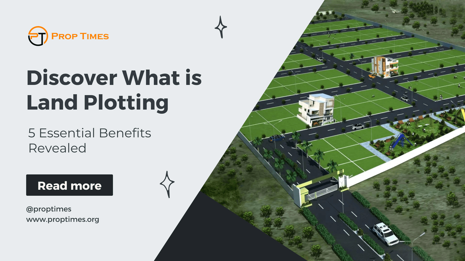
Discover What is Land Plotting: 5 Essential Benefits Revealed
Introduction
Welcome to our blog, where we delve into the intricate world of land plotting. Have you ever wondered, “What is land plotting?” Well, wonder no more, as we uncover the mysteries and nuances of this essential aspect of real estate development. From understanding the fundamentals of land plotting to exploring its significance in property management and urban planning, we’re here to guide you through every step.
Whether you’re a seasoned real estate professional or a curious individual looking to expand your knowledge, our comprehensive insights and expert advice will illuminate the complexities of land plotting like never before.
What is Land Plotting
- Definition: Land plotting, also known as land surveying or cadastral mapping, is the process of dividing a piece of land into smaller parcels or plots. Each plot is designated with specific boundaries and dimensions, allowing for accurate identification and management of land parcels.
- Land plotting involves precise measurement and mapping of land features such as boundaries, contours, and topographical elements. This ensures clarity and accuracy in land ownership, development, and usage.
- Purpose and Importance:
- Property Identification: Land plotting facilitates the identification and delineation of individual properties within a larger area. This is essential for property ownership, taxation, and legal purposes.
- Urban Planning: Effective land plotting is crucial for urban planning and development projects. It helps city planners allocate land resources efficiently, plan infrastructure projects, and manage urban growth.
- Real Estate Transactions: Accurate land plotting is essential for real estate transactions, including buying, selling, or leasing land. Clear boundaries and property dimensions help prevent disputes and ensure smooth transactions.
- Methods and Techniques:
- Surveying Tools: Land plotting involves the use of various surveying tools and techniques such as total stations, GPS (Global Positioning System), and GIS (Geographic Information System) software. These tools help surveyors accurately measure and map land features.
- Legal Considerations: Land plotting must adhere to legal regulations and standards set by local authorities. Surveyors must consider factors such as property rights, zoning laws, and environmental regulations during the plotting process.
- Challenges and Considerations:
- Accuracy: Achieving precise measurements and boundaries can be challenging, especially in complex terrain or densely populated areas. Surveyors must employ advanced techniques and equipment to ensure accuracy.
- Cost and Time: Land plotting can be a time-consuming and costly process, especially for large-scale projects. Factors such as terrain complexity, accessibility, and surveying methods can impact the overall cost and duration of the plotting process.
- Environmental Impact: Land plotting activities can have environmental implications, such as habitat disturbance or land degradation. Surveyors must consider environmental factors and minimise ecological impacts during the plotting process.
Understanding the fundamentals of “what is land plotting” is essential for landowners, developers, and urban planners alike. By comprehending the intricacies of this process, stakeholders can effectively manage land resources, plan sustainable development projects, and navigate the complexities of the real estate market.

Land Plotting Rules
Once we’ve wrapped our heads around what is land plotting, it’s time to dive into another crucial aspect: land plotting rules! So, let’s roll up our sleeves and unlock the secrets of these rules together:
Legal Framework:
- Local Regulations: Land plotting rules vary depending on the jurisdiction and local regulations. It’s essential to understand the specific laws and ordinances governing land subdivision and development in your area.
- Zoning Laws: Zoning regulations dictate how land can be used and developed within a given area. Land plotting must adhere to zoning laws, which define permissible land uses, building heights, setbacks, and other restrictions.
- Surveying Standards:
- Boundary Determination: Land plotting follows established surveying standards for accurately determining property boundaries. Surveyors use various methods, including boundary surveys and cadastral mapping, to demarcate land parcels.
- Accuracy Requirements: Surveying standards require a high level of accuracy in land plotting to ensure property boundaries are precisely delineated. Surveyors must adhere to specific measurement tolerances and quality assurance protocols.
- Subdivision Procedures:
- Subdivision Approval: Before subdividing land, property owners must obtain approval from local planning authorities. This involves submitting a subdivision proposal, survey maps, and other documentation outlining the proposed land division.
- Platting Process: The platting process involves creating a detailed map or plat showing the newly subdivided land parcels. The plat must meet regulatory requirements and include accurate boundary measurements, lot dimensions, and any easements or restrictions.
- Environmental Considerations:
- Environmental Impact Assessment: Land plotting rules may require an environmental impact assessment to evaluate the potential environmental effects of land subdivision and development. This includes assessing impacts on water resources, wildlife habitats, and soil quality.
- Conservation Requirements: Some jurisdictions have conservation regulations that restrict land subdivisions in environmentally sensitive areas such as wetlands, floodplains, or protected habitats. Land plotting must comply with these conservation requirements to mitigate ecological impacts.
- Public Infrastructure:
- Utility Planning: Land plotting rules may involve considerations for public infrastructure such as water, sewer, and transportation systems. Subdivided land parcels must have adequate access to essential utilities and infrastructure to support development.
- Impact Fees: In some cases, land developers may be required to pay impact fees to offset the cost of public infrastructure improvements necessitated by land subdivisions. These fees help fund the construction or expansion of roads, utilities, and other infrastructure projects.
Understanding land plotting rules is crucial for landowners, developers, and surveyors involved in land subdivisions and development projects. By adhering to legal requirements, surveying standards, and environmental considerations, stakeholders can ensure compliant and sustainable land use practices that benefit both communities and the environment.
Land Plotting Ideas
- Garden Design: Utilise land plotting techniques to design and divide your garden space efficiently, maximising plant diversity and aesthetics.
- Incorporate raised beds, pathways, and seating areas within designated garden plots to create a functional and visually appealing outdoor space.
- Subdivision Planning: Explore land plotting for subdivision projects, dividing larger parcels into smaller lots for residential or commercial development.
- Consider factors such as zoning regulations, lot sizes, and infrastructure requirements when planning subdivisions to optimise land use and maximise property value.
- Farm Layout: Apply land plotting principles to design an efficient farm layout, organising crop fields, livestock areas, and infrastructure for optimal productivity.
- Use land plotting to plan irrigation systems, crop rotation schedules, and grazing areas, enhancing farm efficiency and sustainability.
- Recreational Land Use: Implement land plotting strategies to create recreational spaces such as parks, playgrounds, or sports fields, maximising usability and enjoyment.
- Divide land into designated activity zones, incorporating amenities such as trails, sports courts, and picnic areas to accommodate various recreational activities.
- Landscaping Projects: Employ land plotting techniques for landscaping projects, defining outdoor spaces and incorporating hardscape features for enhanced functionality and curb appeal.
- Designate areas for patios, fire pits, and water features within the landscape, using land plotting to create cohesive outdoor living environments.
Understanding what land plotting entails opens up avenues for creative utilisation of land resources. Whether for residential, agricultural, recreational, or aesthetic purposes, innovative ideas can maximise land efficiency. By incorporating creative design principles and strategic planning, landowners can reshape their properties into functional and aesthetically pleasing spaces tailored to their specific desires. This transformative process not only optimises land use but also enhances its overall value and appeal. Embracing the concept of “what is land plotting” fosters a proactive approach toward land management, empowering individuals to realise the full potential of their properties through thoughtful design and implementation.

Land Plotting Design
- Purposeful Layout: Understand the objectives behind land plotting to create a purposeful layout that aligns with your goals and requirements.
- Spatial Organization: Utilise land plotting techniques to organise spatial elements effectively, defining boundaries and allocating space for different purposes.
- Aesthetic Considerations: Incorporate aesthetic elements into the land plotting design to enhance visual appeal and create a harmonious environment.
- Flexibility and Scalability: Design the land plot layout with flexibility and scalability in mind to accommodate future changes or expansions.
- Environmental Sustainability: Prioritise environmental sustainability in land plotting design by integrating green spaces, conservation areas, and eco-friendly practices.
Designing a land plot involves careful consideration of various factors to create a layout that is not only functional but also aesthetically pleasing, environmentally sustainable, and adaptable to future needs. By embracing the concept of what is land plotting and applying creative design principles, landowners can create landscapes that are both practical and beautiful, enriching the overall quality of life for occupants and visitors alike.
Land Plotting Procedure
- preparation is essential: This involves gathering relevant documents, such as property deeds and boundary surveys, and conducting preliminary site inspections to assess the terrain and existing land features.
- Boundary Identification: The first step in the land plotting procedure is to identify and demarcate property boundaries. Surveyors use established survey markers, boundary monuments, and legal documents to determine the precise location of property lines.
- Topographic Mapping: Once property boundaries are established, surveyors proceed to create detailed topographic maps of the land. This involves measuring and recording elevation data, natural features, and man-made structures present on the property.
- Plot Division: With boundary lines and topographic data in hand, surveyors proceed to divide the land into individual plots or parcels according to the client’s specifications and zoning regulations.
- Documentation and Reporting: Upon completion of the land plotting procedure, surveyors compile all collected data and documentation into comprehensive reports and maps for client review and approval.
The land plotting procedure is a systematic and meticulous process that requires careful planning, precise measurements, and adherence to legal standards and regulations. By following established procedures and utilising advanced surveying techniques, surveyors can accurately map out land parcels and provide valuable insights for various land management and development projects.
Can't Find What you are looking for?
Tell us about your choice here!


